
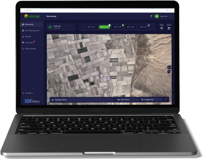
At Agrovisio, we’re revolutionizing agriculture with precision technology that brings the power of AI, satellite, and drone data into the hands of farmers and agribusinesses. Founded with a mission to support sustainable, data-driven farming, our platform delivers real-time insights on crop health, water usage, fertilization needs, and more—all through an intuitive, fully independent interface that requires no third-party integration.
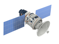
Our unique approach goes beyond monitoring; Agrovisio's advanced crop classification tools utilize high-resolution satellite imagery to accurately identify and track crop types across vast areas. This enables farmers and stakeholders to understand crop distribution, manage resources effectively, and anticipate market demands. By combining AI with remote sensing, we help farmers and agribusinesses make informed decisions from field to market.
Our award-winning digital agricultural assistant, Agrovisioneer, uses AI to provide farmers with intelligent, real-time support, empowering them to optimize yields, reduce costs, and improve sustainability. Trusted by over 25,000 users across 6 countries, Agrovisio has empowered organizations like the Turkish Ministry of Agriculture, TurkTraktör, and major municipalities to implement smarter, more resilient agricultural practices.
Join us as we reshape agriculture with innovative, sustainable solutions for a resilient future.


